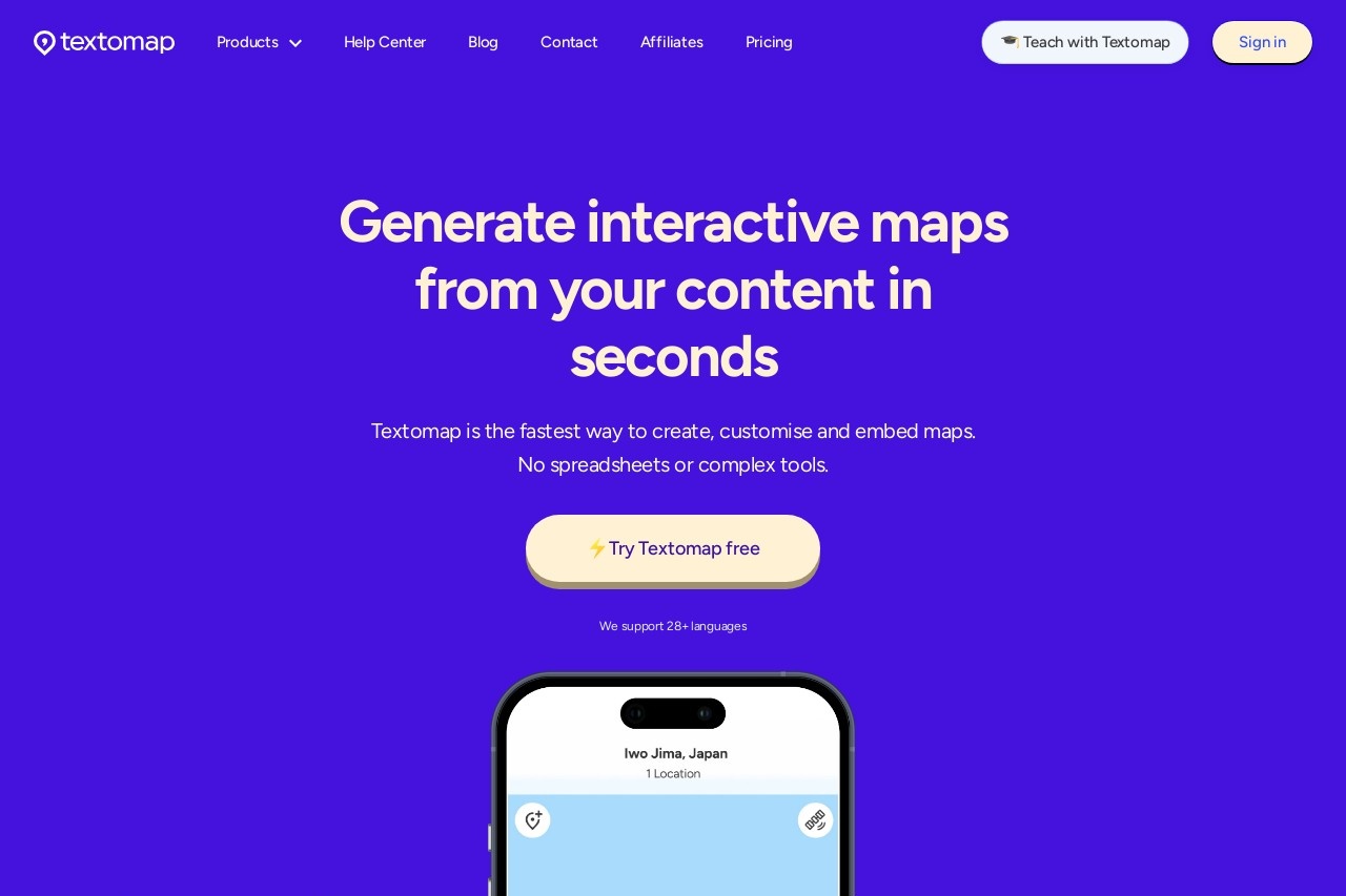
Textomap enables quick creation and editing of interactive maps directly from text, accessible on mobile browsers without downloads.
Textomap
Textomap: Create Interactive Maps from Text
Textomap revolutionizes map creation by allowing users to generate and edit interactive maps directly from text input. This innovative solution eliminates the need for complex software or downloads, making it accessible through any mobile browser.
Key Features
- Text-to-Map Conversion: Transform written descriptions into fully functional maps instantly
- Browser-Based: No app installation required - works on any device with internet access
- Real-Time Editing: Modify map elements through simple text commands
- Collaboration Friendly: Share and co-edit maps with team members
How It Works
The process is remarkably straightforward. Users input location data in natural language, such as:
- "Coffee shop on Main Street between 5th and 6th Avenue"
- "Walking route from Central Park to Times Square"
Textomap's intelligent parsing engine interprets these instructions and creates corresponding map markers, routes, or boundaries.
Practical Applications
This technology serves diverse use cases:
- Event Planning: Quickly map venue locations and attendee routes
- Field Research: Document findings by describing locations in text
- Travel Itineraries: Build custom maps from travel notes
- Educational Tools: Create geography lessons through descriptive text
Accessibility Advantage
Unlike traditional mapping tools requiring specialized knowledge, Textomap democratizes map creation. Its text-based approach makes geospatial visualization accessible to:
- Non-technical users
- People with visual impairments (when combined with screen readers)
- Teams needing rapid prototyping of spatial concepts
As location-based services become increasingly important, Textomap offers a streamlined solution that bridges the gap between textual information and visual mapping.