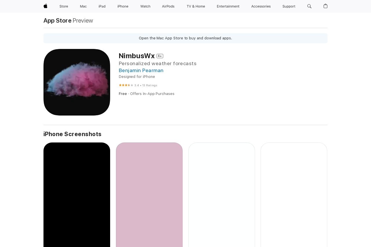
NimbusWx is a professional spot forecasting tool that visualizes weather model data.
NimbusWx
NimbusWx: A Professional Spot Forecasting Tool
NimbusWx is a cutting-edge weather forecasting platform designed to visualize and analyze weather model data with precision. Tailored for professionals and enthusiasts alike, it transforms complex meteorological information into intuitive, actionable insights.
Key Features of NimbusWx
- High-Resolution Visualizations: Displays weather patterns through dynamic maps, graphs, and layered data overlays.
- Multi-Model Integration: Aggregates data from global weather models like GFS, ECMWF, and NAM for comprehensive analysis.
- Customizable Alerts: Users can set thresholds for temperature, precipitation, or wind speed to receive timely notifications.
- Spot-Specific Forecasts: Delivers hyper-local predictions for precise locations, ideal for event planning or outdoor operations.
Who Uses NimbusWx?
NimbusWx serves a diverse range of industries:
- Aviation: Pilots and dispatchers rely on its wind and turbulence forecasts for flight safety.
- Agriculture: Farmers utilize soil moisture and frost predictions to optimize crop management.
- Event Management: Organizers monitor rain and temperature trends for outdoor venues.
- Renewable Energy: Solar/wind farms leverage irradiance and wind speed data for output forecasting.
How It Works
The platform processes raw numerical weather prediction (NWP) data through proprietary algorithms, converting it into visual formats like:
- Time-series graphs for temperature trends
- Wind vector maps with adjustable altitude layers
- Precipitation accumulation heatmaps
Why Choose NimbusWx?
Unlike generic weather apps, NimbusWx offers:
- 72-hour forecast updates every 3 hours
- Terrain-aware modeling for mountainous regions
- API integration for enterprise systems
With its balance of technical depth and user-friendly interface, NimbusWx bridges the gap between meteorological science and practical decision-making.


